

Liver Birds, Imaginary Cities, and Open Doors
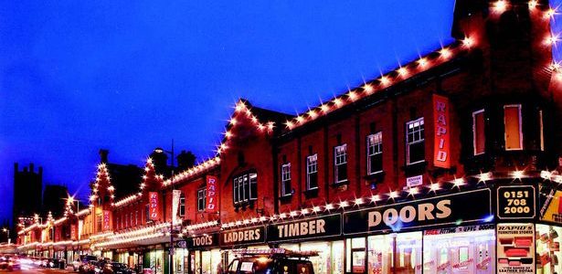
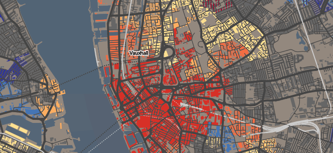
There’s all sorts popping up around the Internet recently for those of a landscape persuasion. From the dozens of liver birds dotting the streets, to poking around inside old buildings, there’s something for every urban explorer. Then there’s imaginary city landscapes… Read more


